A clearer view of difficult places
Public realm drone inspections
Drone-supported inspection of buildings, structures, cliffs and public spaces.
Our approach
Practical advice for the work in front of you
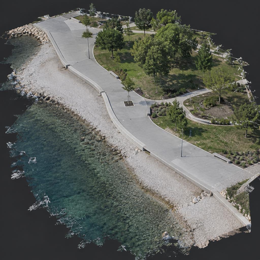
We create a fly-through and a 3D ‘digital twin’ of your location. This can be as small as a garden or as big as a construction site development. Locations can be measured and issues pinpointed with a centimetre-accurate geotag.
Whole cities can be created and recorded (although that would be quite a big challenge).
If you have responsibility for public or employee safety, a drone inspection is likely to be a very effective solution.
Conducting periodic inspections with a safety-qualified expert flying a drone is safer, faster and higher quality. Creating a digital twin takes minutes, not hours.
The results are extremely accurate, easy to understand, great for training and for sharing with stakeholders and other interested parties.
What we can review
- Fast, centimetre-accurate and safer
- Records designed for compliance with ISO 45000 and ISO 31000
- Slips, trips and falls, drowning, vehicle collisions, asset degradation and vandalism
- 4K HD visual detail and shareable records
- Information for staff training and sharing with others
Talk through your site with us
Tell us about the work and we’ll help you find the right starting point.